Translating environmental science into actionable design strategies for climate adaptation and mitigation in water-centric landscapes.
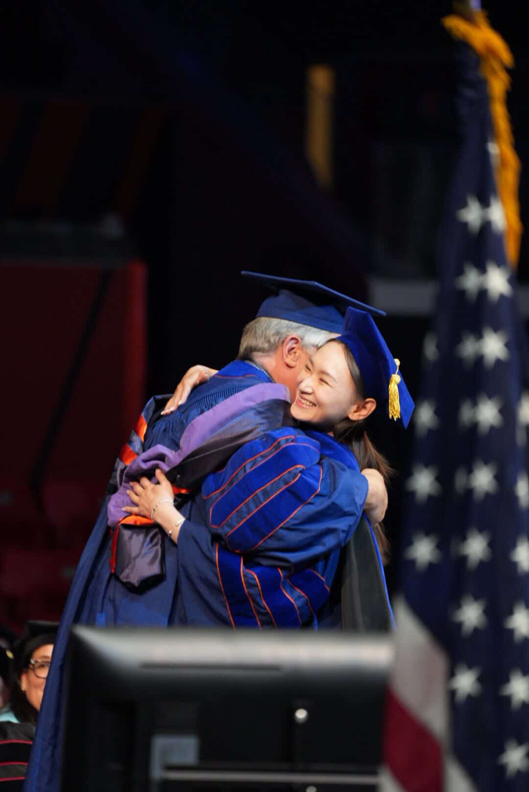
Doctoral hooding ceremony with advisor Professor Brian Deal · UIUC, May 2026
Coupled LEAM land-use simulation with sea level rise and flood vulnerability modeling to evaluate coastal landscape interventions.
Synthesized 123 coastal design projects worldwide to identify how climate science translates into landscape practice.
Analyzed carbon flux rates across 13 wetland types statewide using National Wetlands Inventory data.
Evaluated geodesign methodologies for developing accessible flood vulnerability indices for planning practitioners.
Led and assisted a 5-credit senior studio of 17–18 students. Implemented the International Geodesign Collaboration framework, guiding students through iterative cycles of regional analysis, scenario evaluation, and site-specific resilience design for underserved Chicago neighborhoods. Supported evidence-based design connecting climate vulnerability assessments and stormwater modeling to environmental justice priorities.
Developed and delivered GIS lab modules teaching spatial analysis techniques for regional-scale environmental assessment, including stormwater flow modeling, heat vulnerability mapping, and canopy coverage analysis. Equipped students with technical skills to support evidence-based decision-making in landscape planning.
Introduced a transferable framework (SLR→DPF) that translates continuous sea level rise projections into discrete, actionable design parameters across four dimensions: vertical, horizontal, temporal, and ecological.
Bo Pang · Ph.D.
LEAM Lab · University of Illinois Urbana-Champaign
Presents a planning-support framework for differentiating coastal growth space using adaptation zoning, integrating land-use modeling with climate vulnerability analysis in Dalian, China.
Bo Pang · Ph.D.
University of Illinois Urbana-Champaign
Landscape Architecture Executive Fund, UIUC
Psi Chapter
"Before the City, There Was the Sand: Designing Rainwater in Calumet City for a Resilient Calumet TERRAIN"